Tancas Abertas
Territory
From the breathtaking cliffs of Villanova Monteleone to the majestic peaks of Monte Rasu, explore ancient forests and magical lakes, dive into a maze of prehistoric caves and be amazed by one-of-a-kind natural monuments. Enjoy a timeless adventure through history, nature, and culture in an authentic and untouched part of Sardinia.
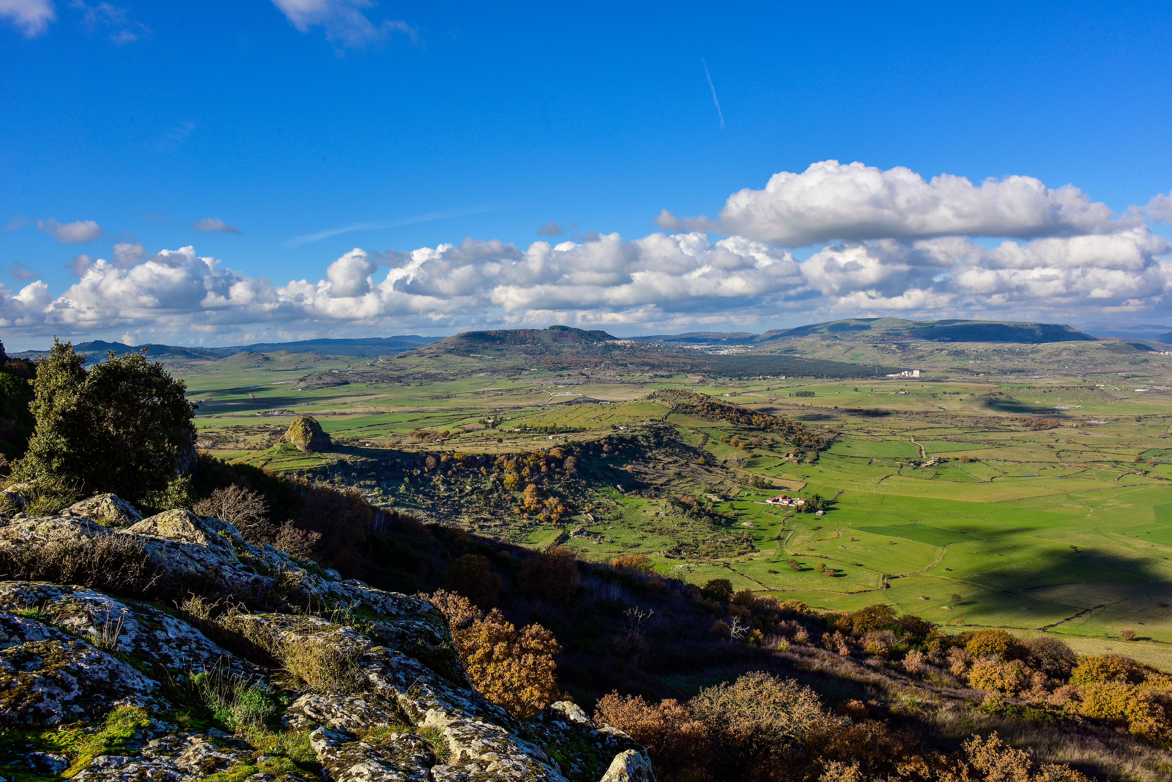
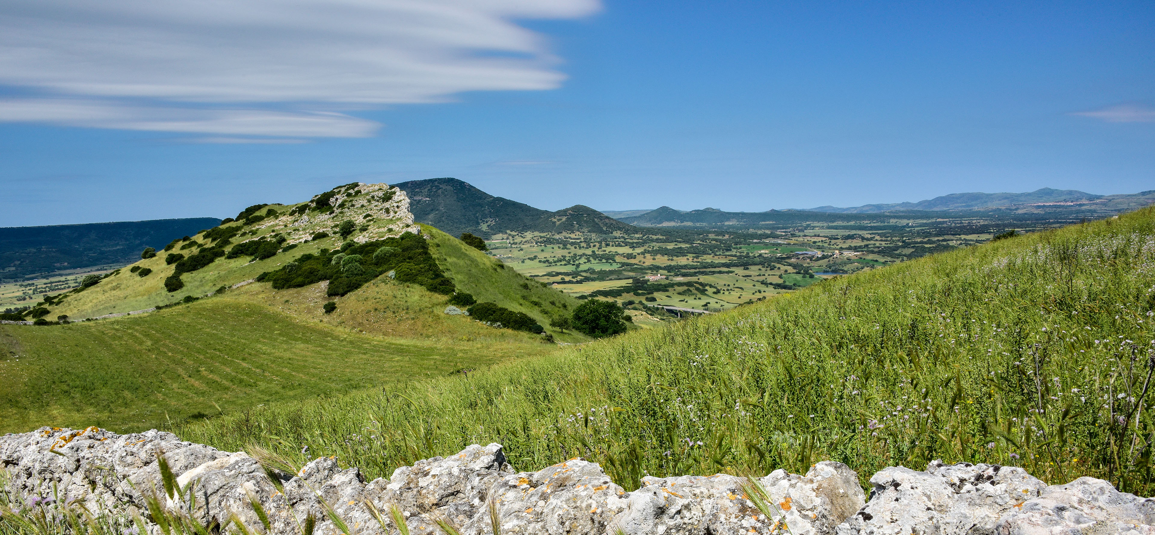
Landscape
The GAL Logudoro Goceano covers a wide area in northwestern Sardinia, within the province of Sassari. It includes 34 towns spread across the subregions of Goceano, Mejlogu, Monte Acuto, Villanova, and Logudoro.
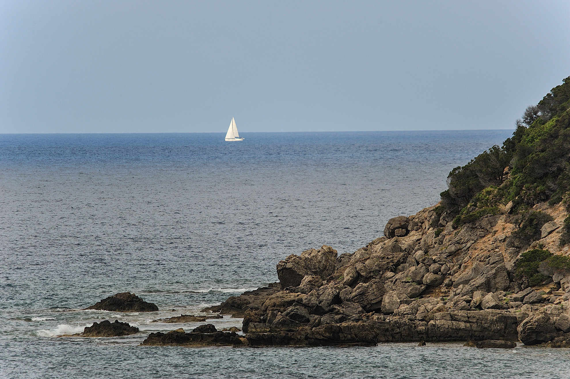
The landscape is incredibly diverse: from the sea-facing side of Villanova Monteleone, with Poglina beach, cliffs, and rocky coastlines, to the inland areas around Nule and Benettutti, stretching all the way to the highlands of Monte Lerno in Pattada. Its peak, Su Campanile, reaches 1,093 meters, while the Goceano mountain range culminates at Sa Punta Manna, on Monte Rasu in Bono, standing at 1,258 meters—the highest point in the whole GAL territory.
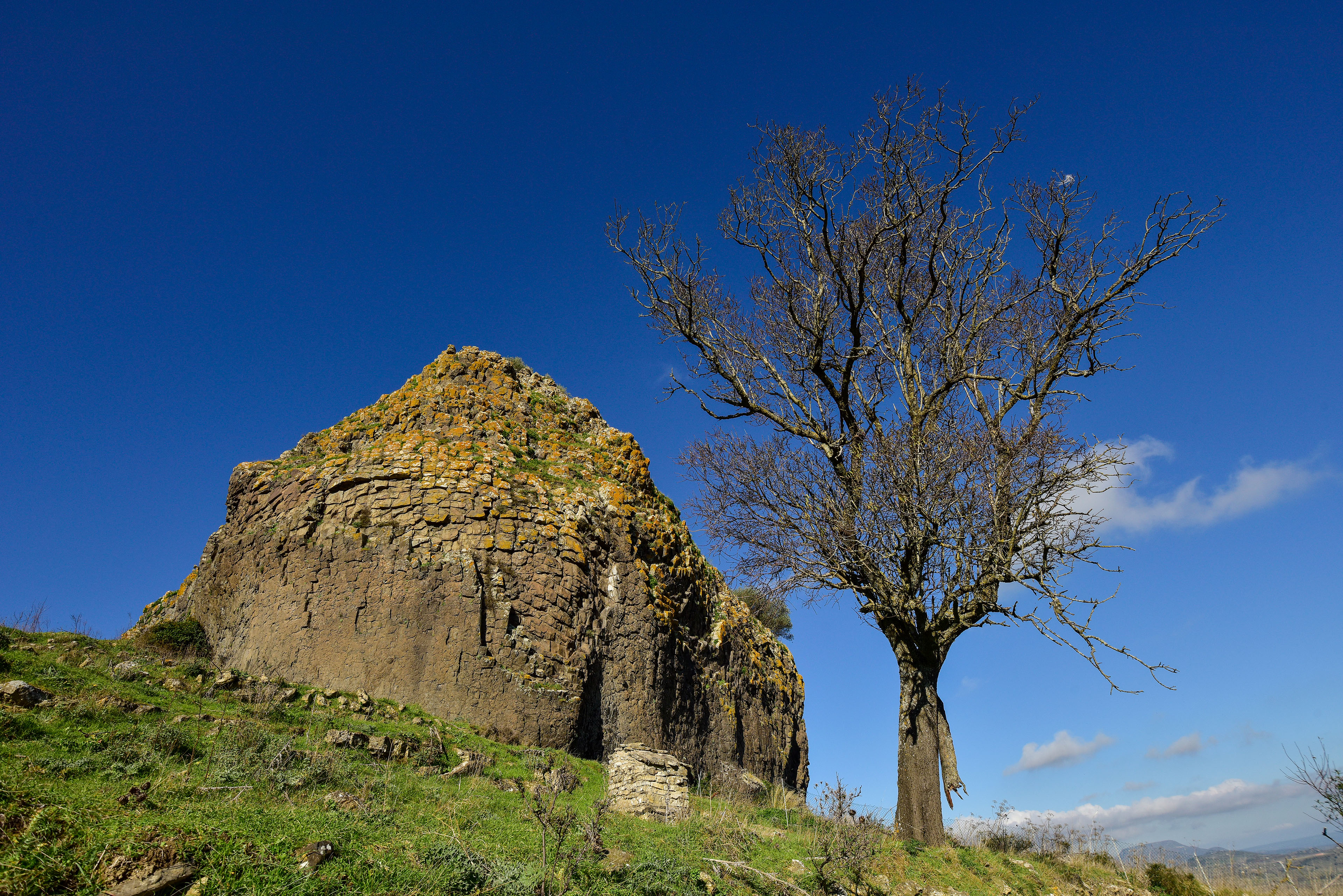
Between the sea and the mountains, the scenery constantly shifts: hills, terraces, plateaus, volcanic plugs and diatremes, and flat-topped ridges all mix together to form a unique setting.
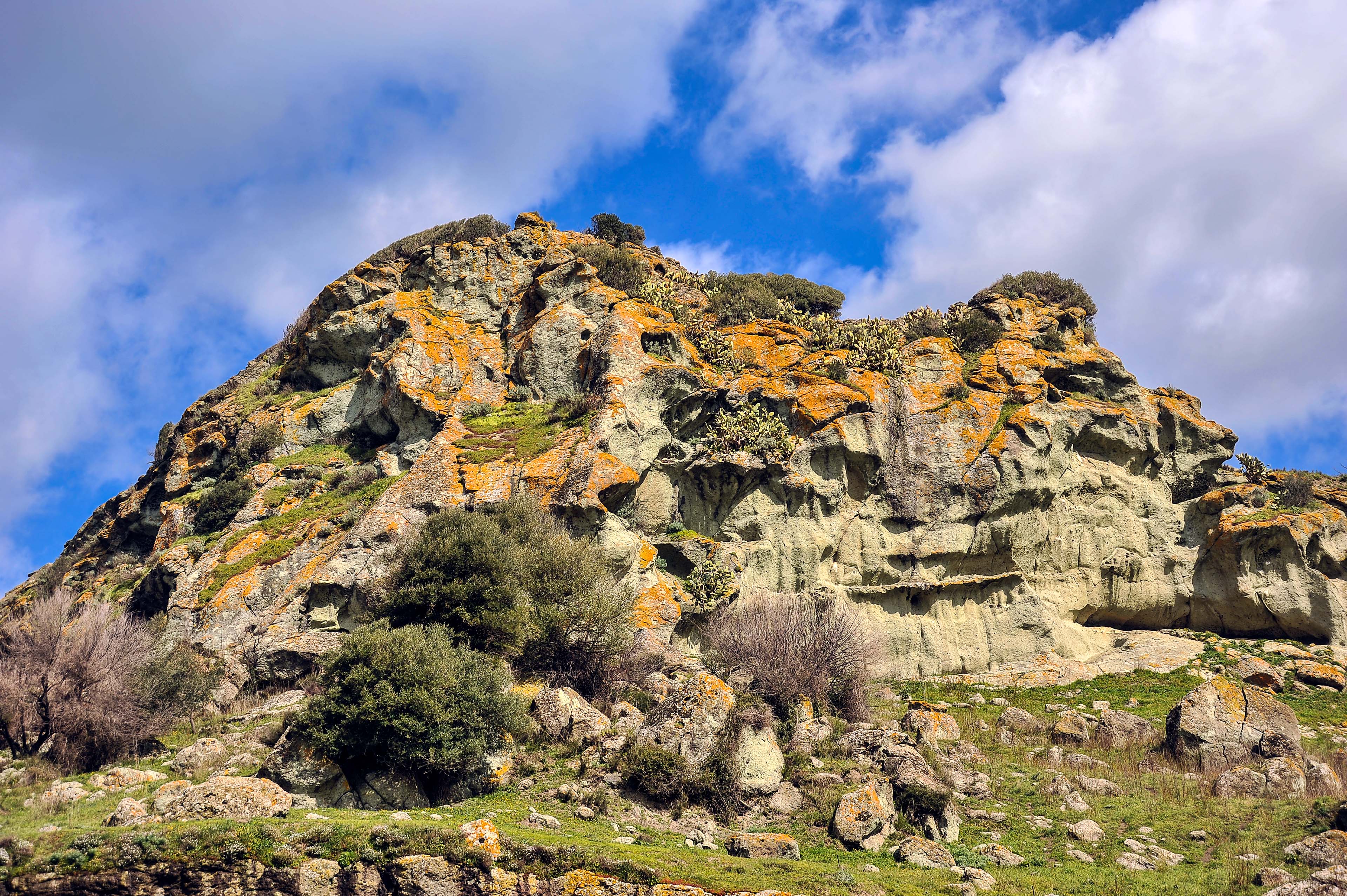
Natural monuments
A special touch is given by the natural monuments of the Meilogu craters, like Pedra Mendalza in Giave—a 100-meter-high basalt monolith, the most striking sign of volcanic activity that began here two million years ago. This geological oddity even caught the attention of geographer and naturalist Alberto La Marmora, who called this part of the island the “Sardinian Auvergne”.
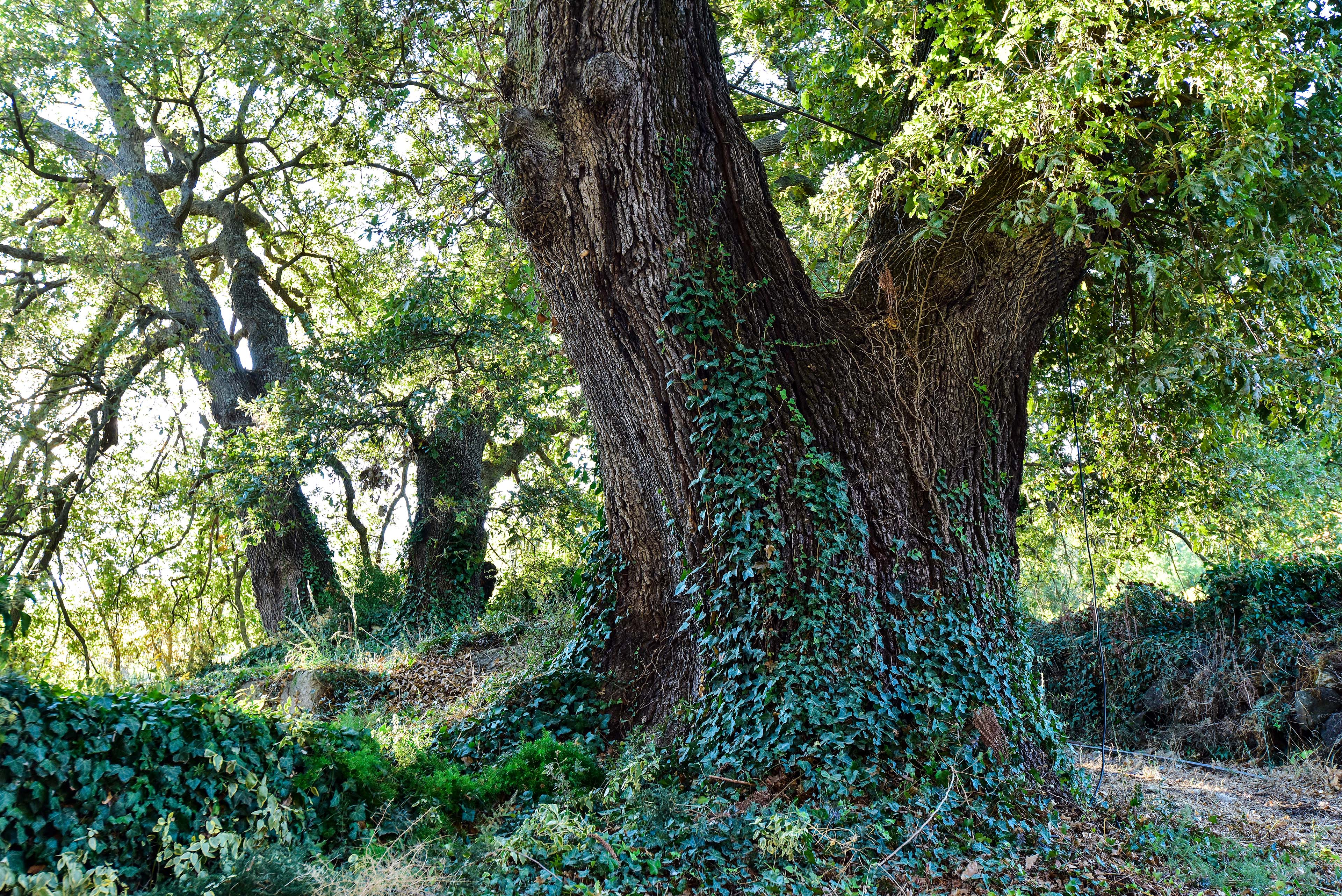
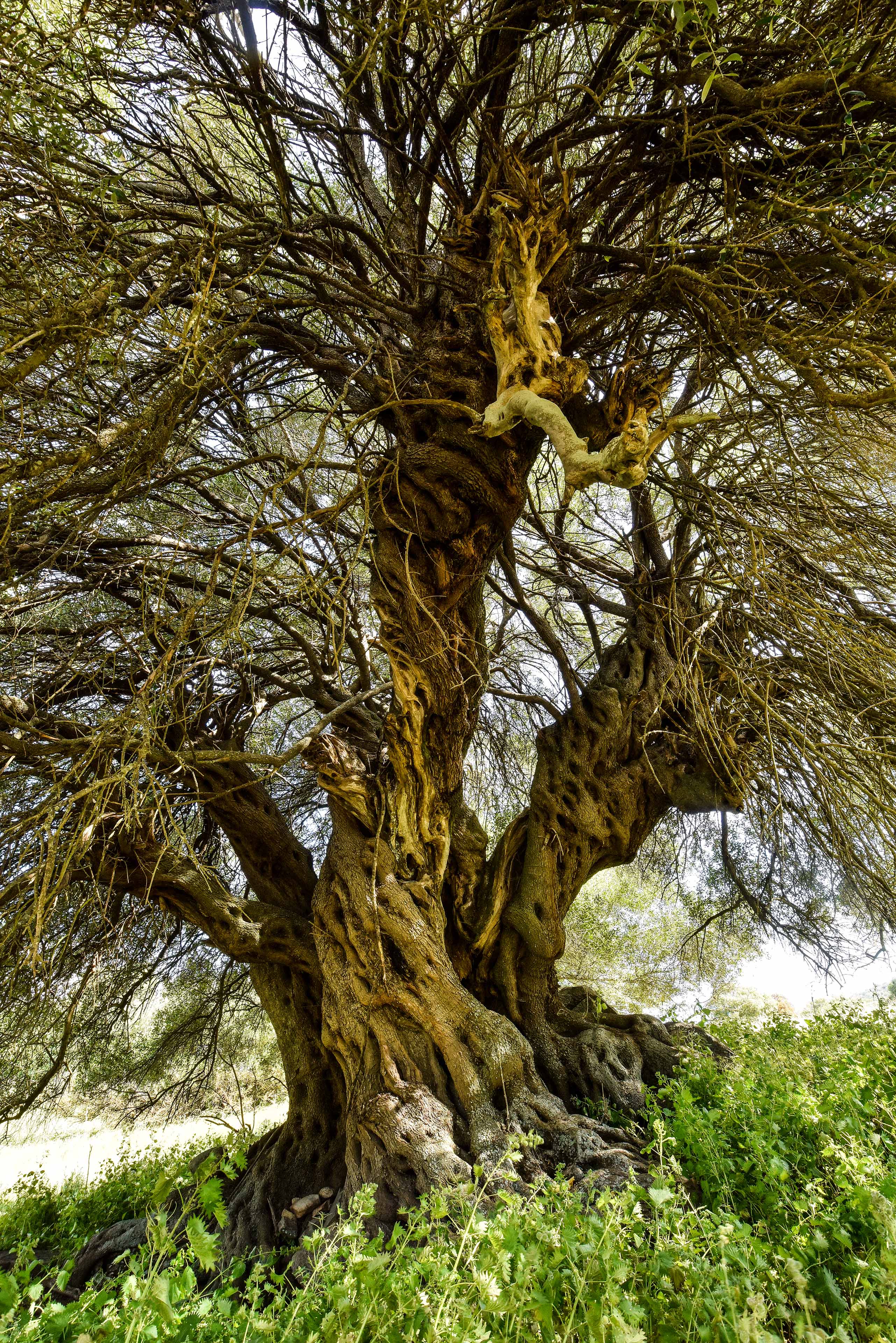
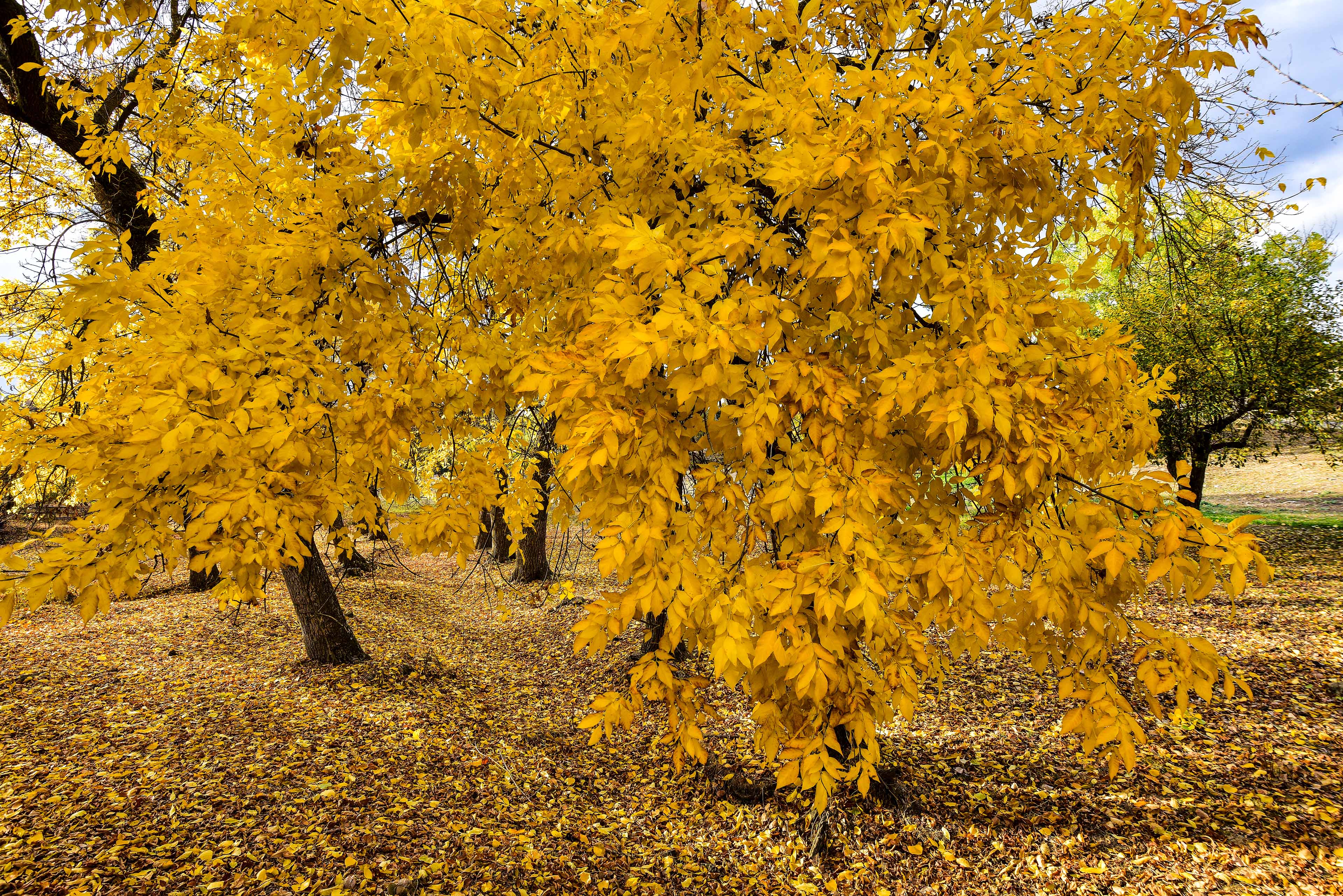
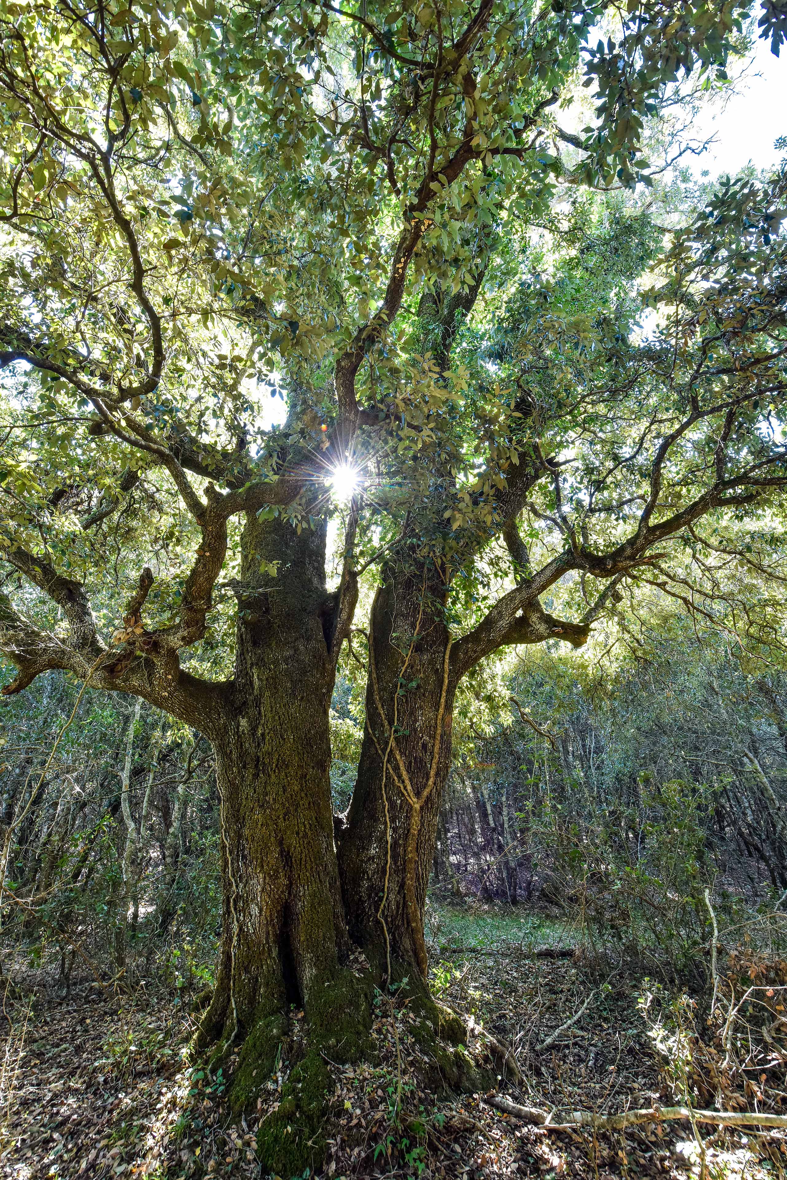
Another natural gem, this time botanical, is the ancient yew forest at Sos Nibberos. Protected since 1994, it hosts century-old—and even millennia-old—trees. The largest one has a circumference over 5.5 meters and stands 20 meters tall.
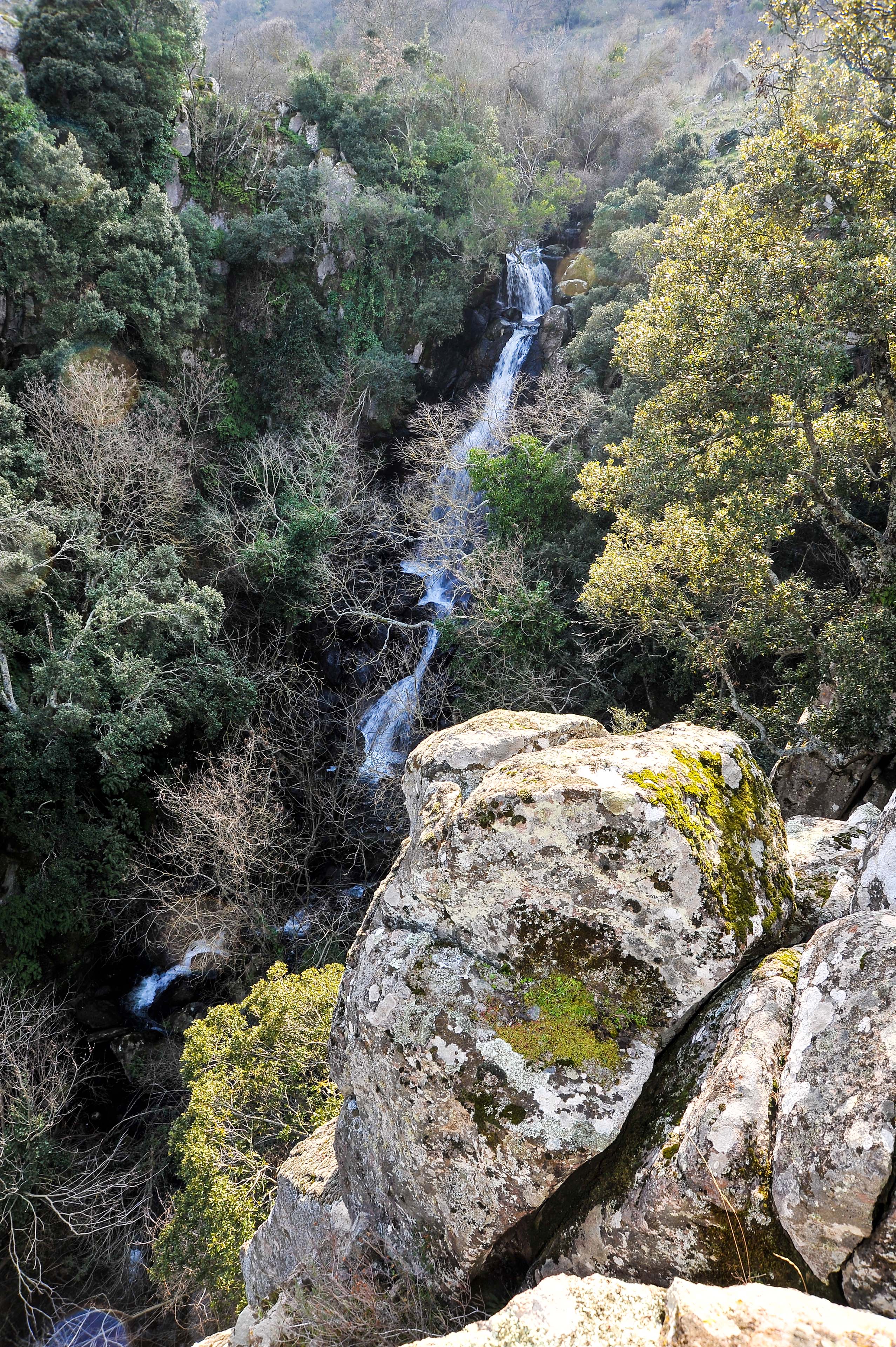
Lakes and rivers
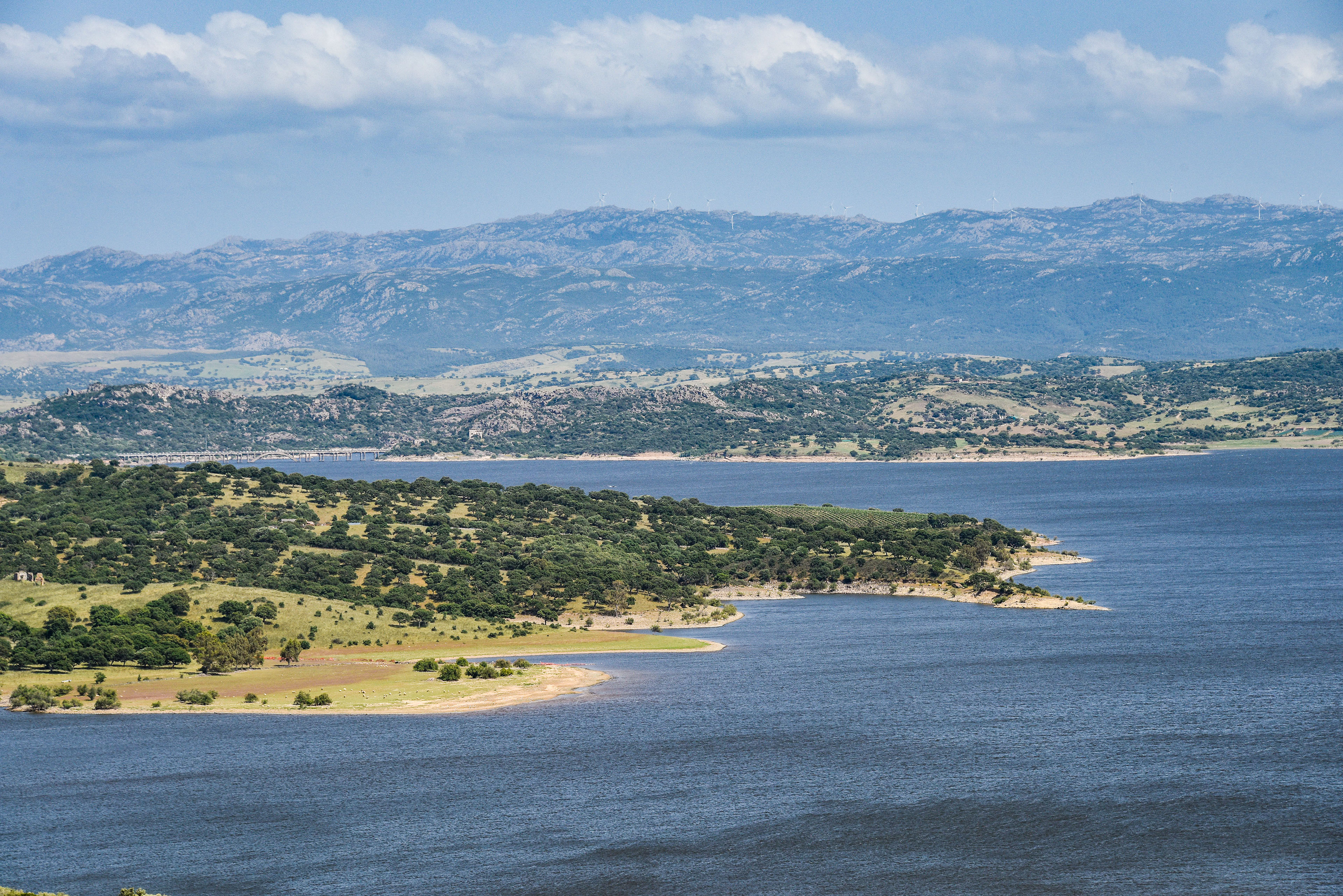
Four artificial lakes also shape the area’s look: Temo, Bidighinzu, Lerno, and the huge Coghinas reservoir—the second largest in Sardinia. The Diana dam, built in 1924, stretches 185 meters and is 58 meters tall, holding up to 254 million cubic meters of water, powering a hydroelectric plant.
Also part of the water landscape are seasonal wetlands known as pauli, rivers, streams, and charming waterfalls like S'Istrampu de su Segnore (Villanova Monteleone), S'adde Manna (Siligo), Badde Mala (Bonorva), and Sos Istrampios (Cossoine).
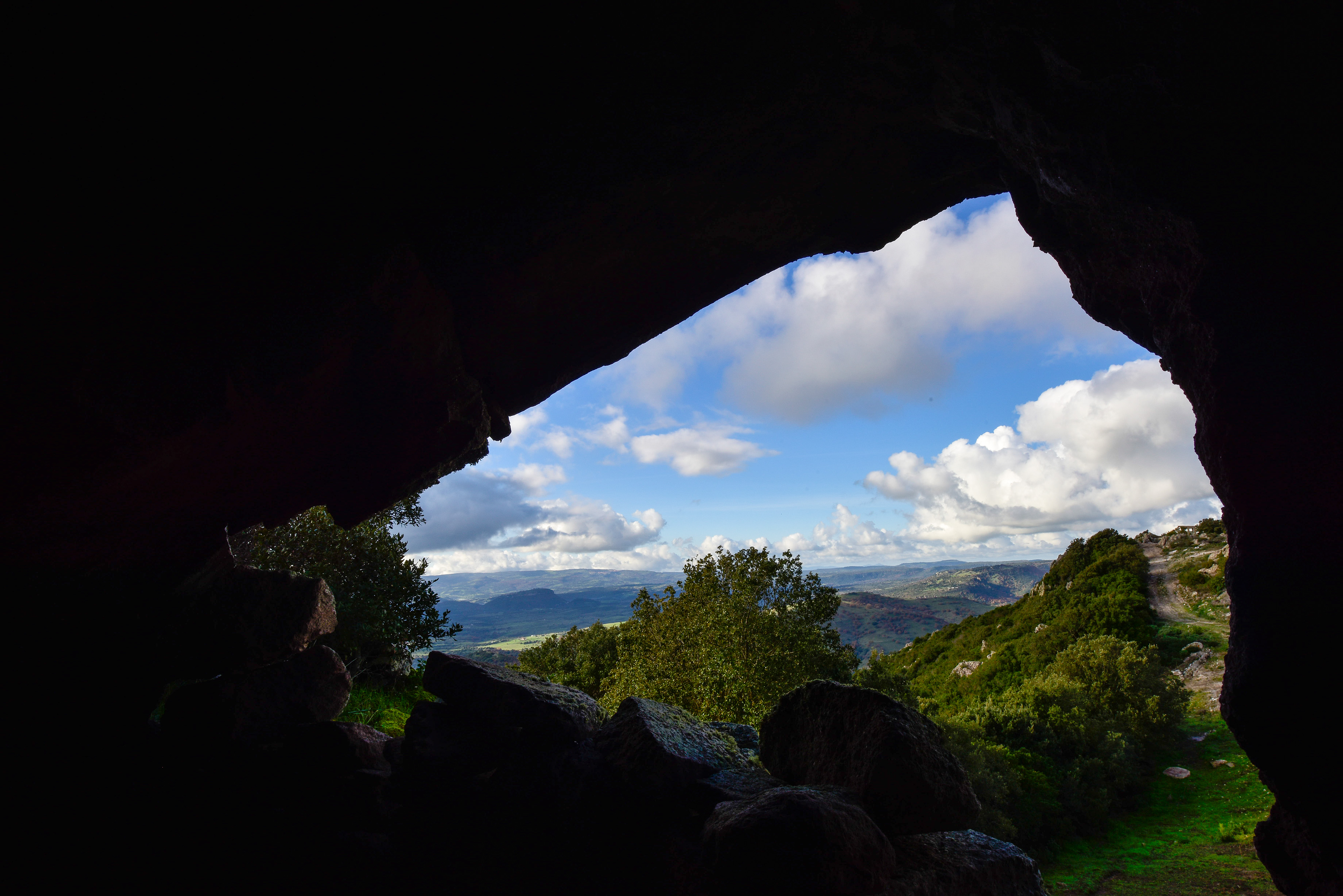
Underground world
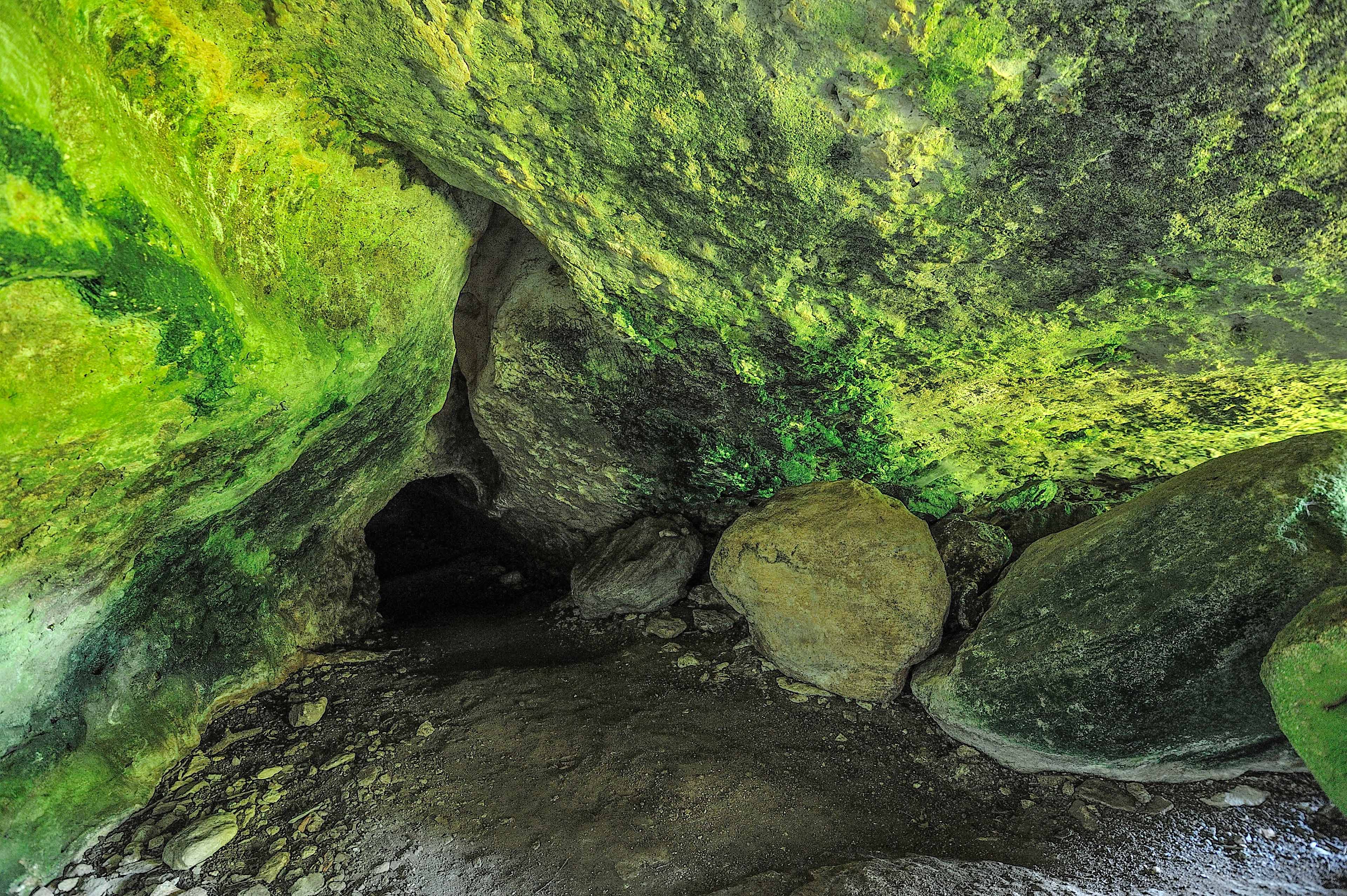
There’s a fascinating hidden world underground too: a network of caves, some hundreds of meters deep. Many have been used by humans since prehistoric times, like the caves of Filiestru and Sa Ucca de su Tintirriolu (Mara), San Michele (Ozieri), and Rocca Ulari (Borutta)—home to a large colony of six bat species. The guano collected from these caves was used industrially in the early 1900s.
In Nurighe cave (Cheremule), bones of Praemegaceros cazioti, a deer that lived in Sardinia until 7,500 years ago, have been found.
And in the sinkhole Sa Ucca ‘e Mammuscone (Cossoine), 63 meters deep, legend has it that elderly people were once thrown in to die.
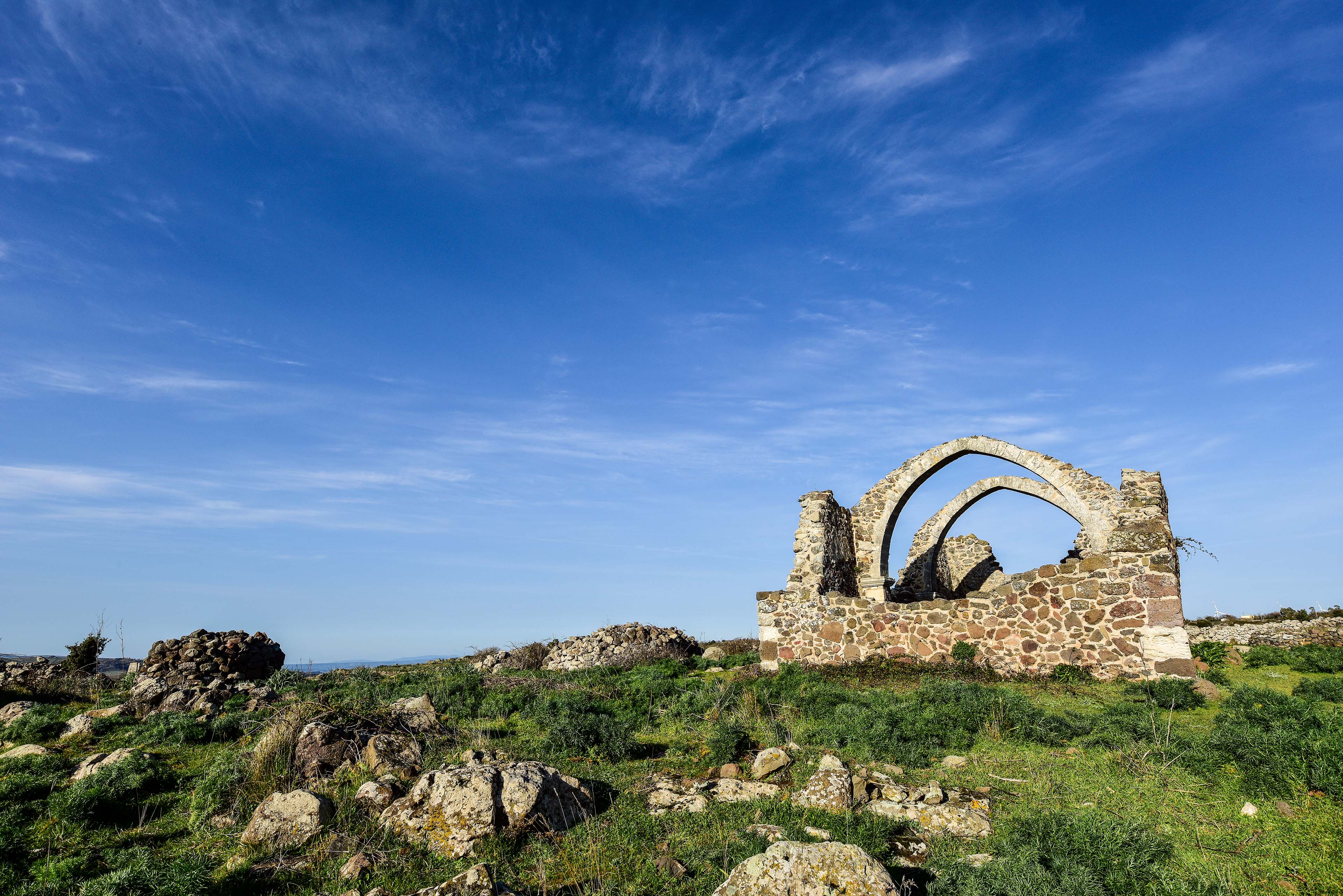
Traces of human activity
Traces of human activity can be found everywhere, starting from the early Neolithic period, around 10,000 years ago: domus de janas, dolmens, giants’ tombs, menhirs, nuraghi, Roman settlements, thermal baths, rock-hewn and countryside churches, large sanctuaries, monasteries, abbeys, cathedrals, and the remains of medieval castles. You’ll also come across charming examples of rural architecture in the old town centers and the farming and shepherding landscapes, dotted with pinneti or Cuili—unique circular shelters built entirely of stone.
You’ll even spot ancient lime kilns, called sos furràghes, used for lime production and commonly found across the Sorres plateau. On the upper slopes of Monte Pelao, in a place called Sa Rocca 'e sa Niera (Thiesi), you can still see the remains of a snow pit that was in use up to a hundred years ago.